In-House Pilots
Our FAA-certified pilots are part of the Terrascope Labs team, not contractors. That means better communication, accountability, and consistent results.
We’re more than drone pilots — We are your data partner. At Terrascope Labs, our focus goes beyond capturing stunning images from the sky. We deliver precise, actionable data designed to help you make smarter, faster decisions. Our mission is simple: to provide the insights you need to move your projects forward with confidence.
At Terrascope Labs, we’re built differently than the big drone providers. With in-house pilots, lean operations, and the latest drone technology, we deliver faster, more flexible, and more cost-effective results without compromising on quality or safety.
In-House Pilots
Our FAA-certified pilots are part of the Terrascope Labs team, not contractors. That means better communication, accountability, and consistent results.
Flexible & Dynamic
Without corporate overhead, we adapt quickly to client needs, custom flight plans, fast scheduling, and responsive support to keep projects moving.
Cost-Effective Solutions
Lean operations mean you save more. We pass cost efficiencies directly to our clients while still delivering enterprise-grade accuracy.
Next-Day Visits
Need data fast? Our team is ready to deploy quickly, with next-day site visits available for urgent projects.
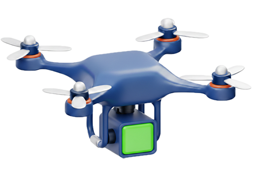
Latest Drone Tech
We fly the newest airframes and LiDAR/photogrammetry sensors to ensure your data is captured with the highest precision available.
Fully Insured
Peace of mind included. Every project we fly is fully insured, protecting your assets and your team while our drones are in the air.
*Typical field performance with RTK and QA/QC. Terrascope Labs is not a licensed engineering or land surveying firm.
FAA Licensed pilots, insured, and equipped to give your project the aerial edge and data you can trust. Complete the form below to get a quote, or call us at 1-214-400-7989 to speak directly with our drone experts.