Detection Range
Up to 450 m (50% reflectivity)
Capture detail from higher, safer altitudes.
Engineering firms, construction managers, and developers across Texas rely on Terrascope Labs for advanced LiDAR drone services. Our FAA-certified pilots and state-of-the-art sensors deliver survey-grade data that saves projects both time and money — without sacrificing accuracy.
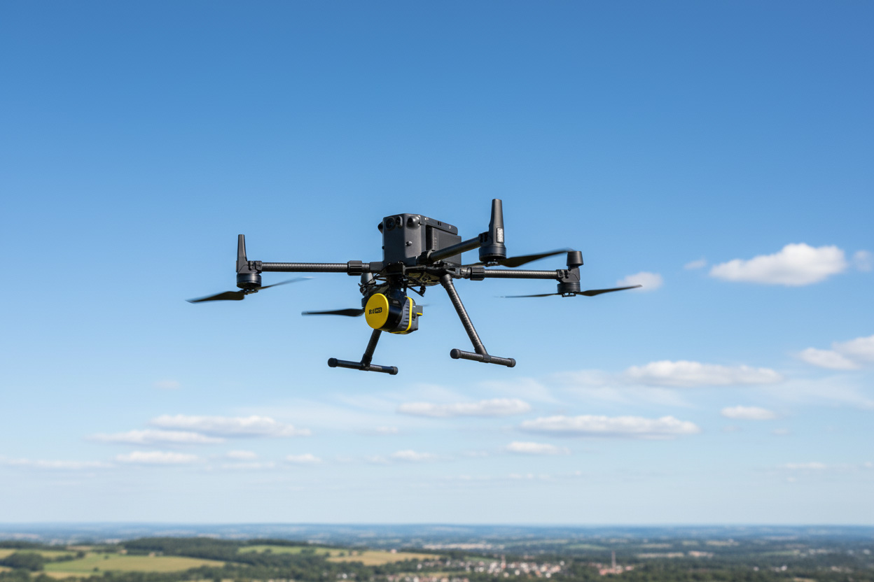
Capture millions of data points per second with centimeter-level accuracy. Our LiDAR-equipped DJI Matrice 350 drones deliver precise 3D mapping solutions — even through dense vegetation or rugged terrain.
From highway expansions to utility corridor planning, our LiDAR mapping empowers engineers and surveyors with data you can rely on.
Ground control & tight QA/QC workflows deliver centimeter-level confidence.
Efficient flight planning and processing keep your projects moving.
Point clouds, DTMs/DSMs, contours, and orthomosaics—ready for CAD & GIS.
At the heart of our LiDAR service is the DJI Zenmuse L2a high‑end aerial LiDAR system paired with the Matrice 350 RTK for survey‑grade accuracy, efficiency, and reliability in the field.
Detection Range
Up to 450 m (50% reflectivity)
Capture detail from higher, safer altitudes.
Point Density
Up to 1.2 M pts/s (multi‑return)
Dense, high‑fidelity 3D models in less time. Covering up to 2.5 square kilometers per flight.
Accuracy
±4 cm vertical / ±5 cm horizontal*
With RTK + GCPs accuracy boost to ±2 cm workflows at operational altitudes.
Vegetation Penetration
Up to 5 returns per pulse
Clean ground points under canopy for true terrain.
RBG Integration
4/3″, 20 MP camera
Colorized point clouds + orthos in one mission.
Platform Synergy
M350 RTK + L2
Cover large areas efficiently with survey‑tight QA/QC.
*Typical field performance with RTK and QA/QC. Terrascope Labs is not a licensed engineering or land surveying firm.
The ROCK R3 Pro V2 is a professional, 3-in-1 LiDAR payload that combines a 32-channel laser scanner with an integrated 26 MP RGB camera and tactical-grade IMU, delivering survey-tight data in a fast, field-ready package.
Vegetation Penetration
Up to 120 m @ 60% reflectivity
Efficient coverage for sites, corridors, and stockyards.
Point Density
1.28M measurements/s (dual return)
Dense point clouds with multi-return capability.
Accuracy
~3 cm (0.1 ft) typical
With proper RTK/PPK workflow and QA/QC.
Vegetation Penetration
Dual returns (multi-return)
Improves ground detection under canopy.
RBG Integration
26 MP still camera
Colorized point clouds & orthos in the same mission.
Platform Ready
DJI Skyport / Universal mount
Works on common airframes; 25 W typical power draw.
Specs: 905 nm Class 1, 5 mm precision, 256 GB storage, ~1.26 kg, 10–30 V / ~25 W.
FAA Licensed pilots, insured, and equipped to give your project the aerial edge and data you can trust. Complete the form below to get a quote, or call us at 1-214-400-7989 to speak directly with our drone experts.